Michigan Facts
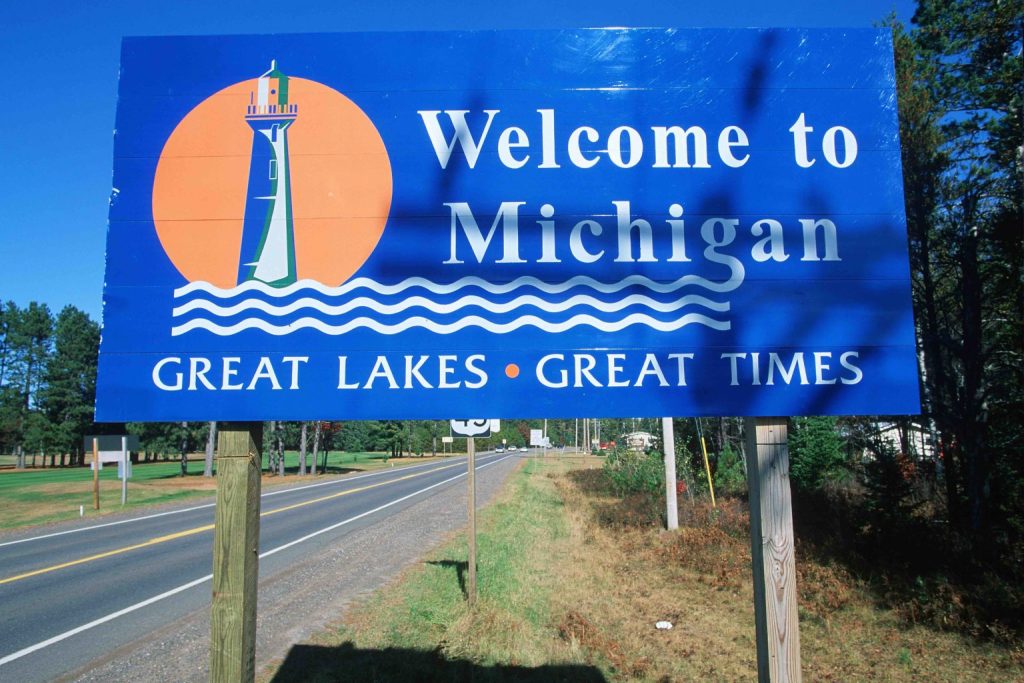
Michigan is the one most brimming with irony among the US states. On one hand, it stands as an industrial powerhouse, both today and in the past. But on the other hand, it also suffered from economic and other problems, both today and in the past. Learn more about this with these 70 Michigan facts.
- 01Michigan covers an estimated area of around 250,000 km².
- 02An estimated 10 million people live in the state today.
- 03It has an estimated population density of around 67 people for every km².
- 04At its lowest point on Lake Erie, Michigan has an elevation of around 174 meters above sea level.
- 05On average, the state has an elevation of around 270 meters above sea level.
Michigan has various nicknames.
These include the Great Lakes State, which comes from the fact that Michigan has access to four out of five of the Great Lakes of North America. There’s also the Wolverine State, which refers to a bustling trade in wolverine fur in Michigan during the 18th century. Ironically, in modern Michigan, wolverines rarely ever get seen in the wild, with the last sighting of a live wolverine taking place in 2004.
Michigan also has the nickname of the Mitten State, from how its Lower Peninsula has the shape of a mitten. Finally, the state also has the nickname of Water Wonderland, from its rich water resources.
It also has various state icons.
These include the American robin as the official state bird and the brook trout as the official state fish. The state also has the apple blossom as its official flower, a distinction shared by the dwarf lake iris as the official state wildflower. The white-tailed deer makes up the state’s official mammal, though, it unofficially shares this with the wolverine.
Michigan also has an official state reptile, the painted turtle, and an official state tree, the eastern white pine. It also has an official state fossil, the mastodon, and an official state gemstone, the Isle Royale greenstone. Michigan even has an official state rock, the Petoskey stone, and an official state soil, Kalkaska sand.
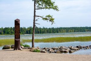
Michigan has many different lakes.
We’ve already mentioned the Great Lakes, with Michigan having immediate access to Lake Erie, Lake Huron, Lake Michigan, and Lake Superior. In addition to the Great Lakes, Michigan has over 11,000 other lakes within its borders. This actually gives the state over 100,000 km² of the area covered by water, not including streams and other water bodies.
These include Bass Lake, a name shared by three different lakes in the states of Grand Traverse County, Interlochen, and the Forest Lakes region. There’s also Bear Lake, in Michigan’s Kalkaska County, which has a reputation for clarity thanks to the springs feeding it. It also contrasts with Lake Bancroft in Michigan’s Ishpeming City, which suffers from regular algal blooms thanks to heavy water pollution.
The state also has an anthem of its own.
Specifically, My Michigan, composed by Giles Kavanagh and O’Reilly Clint in 1933, with the latter publishing it at Detroit. The song later received official recognition by the Michigan state legislature as the state anthem in 1937.
Ironically, though, Michigan avoids playing and singing the song at any official event. This comes from the fact that the state never actually bought the rights to the song, nor did the composers release it to the public domain. This means any public use of the song would require payment of royalties to its owner.
With Clint’s death in 1961, US law requires another 70 years before the song defaults to the public domain, in 2031.
Michigan has distinctive geography.
A pair of peninsulas make up the state, called the Upper and Lower Peninsulas, separated by the Straits of Mackinac. The latitude of 45 parallel north also runs across the state, marked by the Polar-Equator Trail through both the Upper and Lower Peninsulas.
Most of the state’s water flows into the Great Lakes, except for a small part of the Upper Peninsula drained by the Wisconsin River. A small part of the Lower Peninsula also sees its water drain into the Kankakee and Illinois Rivers. No part of the state has a distance greater than 137 km from the Great Lakes, or 10 km from any natural water body.
Mount Arvon makes up the state’s highest point.
Located in Michigan’s Baraga County’s L’Anse Township, Mount Arvon stands 603 meters above sea level. Ironically, Mount Arvon only gained this status in 1982, with the neighboring Mount Curwood previously counted as Michigan’s highest point. But in that year, modern scanning technology discovered that Mount Arvon stood 30 cm taller than Mount Curwood.